UAS: Drone Inspection and Survey
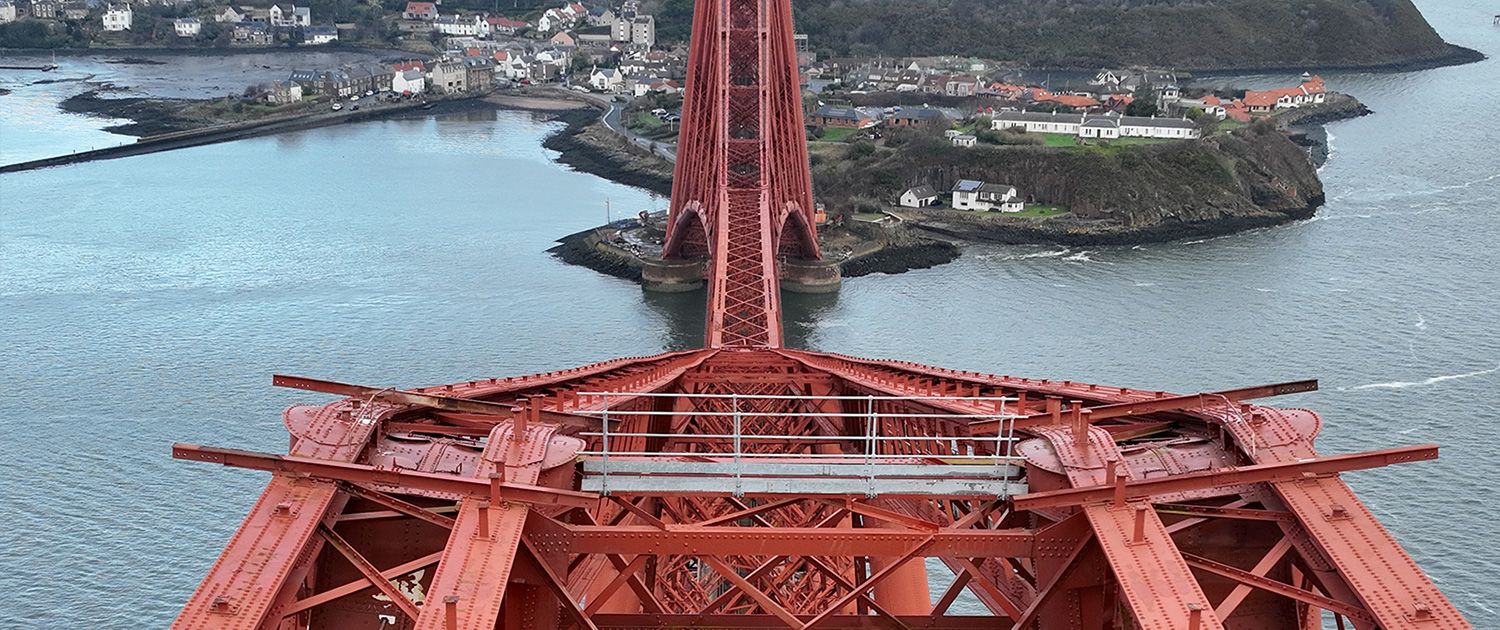
When access is impossible, the asset is offline, or the data has to be survey-grade, drones change what is possible.
Our UAS fleet pairs collision-tolerant confined-space platforms with high-resolution photogrammetry and LiDAR rigs, flown by CAA-authorised pilots and interpreted by the same engineers who deliver our tactile inspections.
What we deliver…
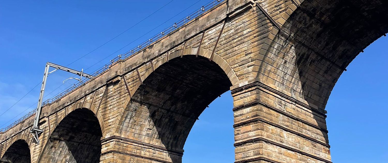
- Flyability Elios 3 for confined and GPS-denied environments: tunnels, shafts, bridge soffits, tanks and bores. Collision-tolerant flight where conventional drones cannot operate.
- DJI Matrice 400 with Zenmuse P1 for survey-grade aerial photogrammetry of structures, alignments and topographic models.
- LiDAR-equipped airframes for canopy penetration on cuttings and embankments: map the ground surface under vegetation, then target clearance only where the earthworks examination requires it.
- Standard RGB, thermal and 4K video inspection across all airframes.
- CAA-approved UAS operator in the Specific Category, with GVC-qualified pilots and full risk-assessed flight planning.
- BVLOS-approved for beyond visual line of sight operations across linear infrastructure: rail corridors, highway alignments and earthwork networks at scale.
- Output you can act on: orthomosaics, point clouds, defect-tagged imagery and 3D models delivered into your asset workflow.


GET IN TOUCH
Right airframe, right pilot, right output. Talk to us about your next UAS programme.