PROJECTS
OFFICE
Heritage Rail Infrastructure
NEWBRIDGE VIADUCT
36-arch operational railway viaduct · combined terrestrial laser scan & UAS photogrammetry
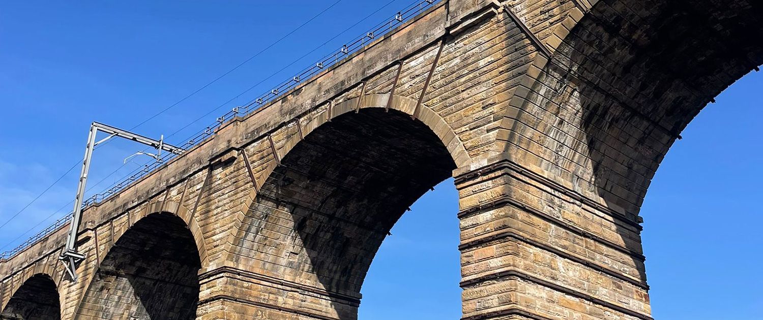
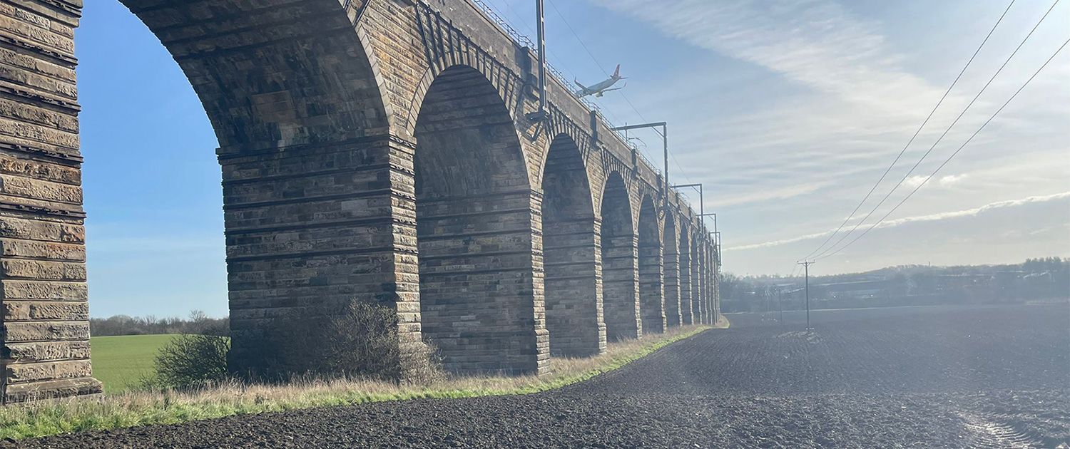
A Category A listed, 36 arch masonry viaduct located beneath an active aircraft approach path and carrying a fully electrified mainline.
Eleusis was engaged to deliver a high accuracy, georeferenced 3D dataset of the structure to support condition assessment and long term asset management.
The Brief
The asset owner required a complete, georeferenced 3D record of the viaduct, with comprehensive coverage of all arches, spandrels, piers and parapets at survey grade tolerance. The dataset needed to support downstream defect mapping, structural review and integration into existing asset management and BIM workflows.
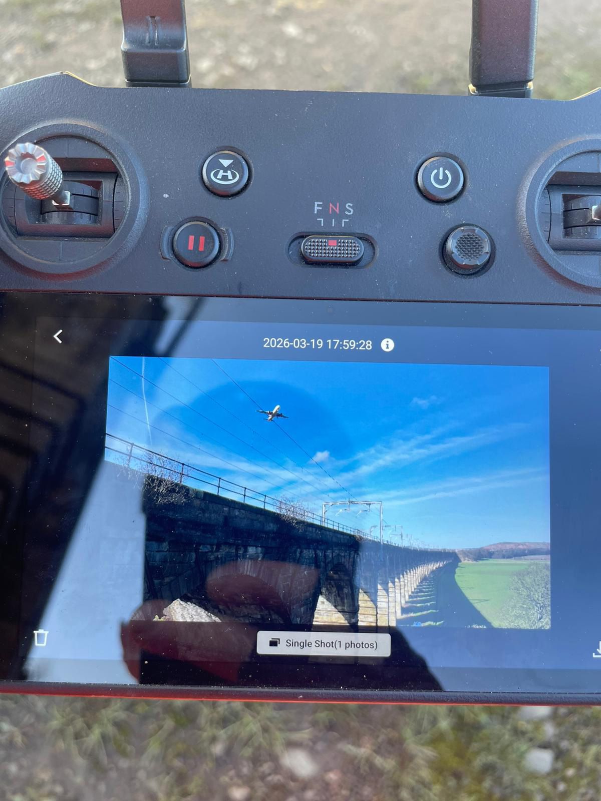
The site presented several operational constraints typical of live rail infrastructure: continuous overhead line equipment along the deck, restricted possession windows, complex lineside access across arable land and embankments, and the additional requirement to operate within an active aircraft approach corridor.
PROJECT
AT A GLANCE
ASSET
Newbridge Viaduct — 36-arch masonry railway viaduct
YEAR
2026
SERVICES
Terrestrial laser scanning · UAS photogrammetry · Point cloud registration
DELIVERABLES
Registered point cloud · Photogrammetric mesh · Survey report
SURVEY LEAD
Led by specialist UAS and geospatial engineering team
Our Approach
We deployed a hybrid survey methodology combining terrestrial laser scanning, ground control and high resolution aerial photogrammetry. The approach was designed to achieve full structural coverage and survey-grade positional accuracy (validated through control network and registration reporting) across both accessible and elevated elements of the viaduct.
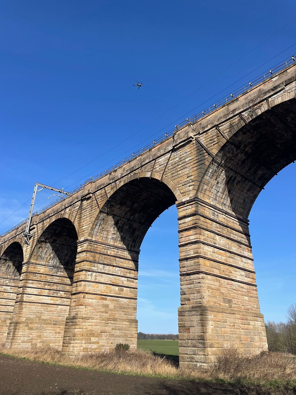
Ground control was established and integrated across both datasets to ensure a consistent geospatial reference frame. Terrestrial laser scanning captured detailed arch geometry and pier structure, while aerial photogrammetry provided high resolution coverage of the deck, parapets and upper spandrel zones beyond the reach of ground based instruments.
The combined dataset was optimised to support downstream measurement, including the identification and positioning of drainage features such as weep holes, and to enable reliable dimensional interrogation of the structure.
Delivery
Scan stations were captured along the full length of the structure and registered into a single unified dataset, providing continuous coverage of both elevations, arch intrados and visible deck interfaces.
This terrestrial dataset was combined with high resolution aerial photogrammetry to extend coverage to the deck, parapets and upper structural elements, resulting in an engineering-grade 3D dataset suitable for measurement, inspection and design interrogation.
Outcome
The client received a fully registered, colourised point cloud in their preferred exchange format, accompanied by a UAS-derived photogrammetric mesh and a formal registration report certifying the geometry. The combined dataset now underpins condition monitoring, defect mapping and any future intervention design.
Masonry Arches
Structure Length
Height
EFFICIENCY
This approach removed the need for full scaffold or rope-access coverage across all 36 arches.