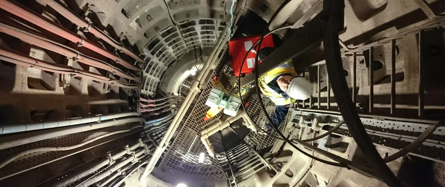

Geomatic & Topographical Surveys
Every asset decision starts with the right base data.
Our geomatic and topographical surveyors deliver the measurements that underpin design, examination and operational planning, captured to the accuracy your engineering decision actually requires. Ground-based and aerial methods integrated under one survey team.
What we deliver…
- Topographical surveys of sites, structures and corridors, delivered to OS National Grid or local site datum.
- Terrestrial laser scanning and photogrammetric capture for as-built 3D models and BIM-ready point clouds.
- GNSS, total station and digital level work, traceable to UKAS-calibrated instruments.
- Bathymetric and hydrographic surveys for waterway and underwater asset measurement.
- Movement and deflection monitoring for assets under load, settlement risk or structural concern.
- Ground-based and UAS-derived data integrated under one survey team, eliminating the handoff between aerial and terrestrial providers.
- Deliverables in your workflow: AutoCAD / Civil 3D drawings, point clouds (LAS, E57), Revit / BIM models and orthomosaics.


GET IN TOUCH
Accurate. Traceable. Delivered into your workflow. Talk to us about your next survey programme.