Advanced Drone Technology
Unlock the power of drone data for your infrastructure.
To both complement and enhance our structural examinations and inspection offering Eleusis Ltd. revolutionises railway inspection with advanced drone technology.
At Eleusis Ltd., drones are more than aerial cameras – they are a structured part of how we examine, survey and assess infrastructure assets.
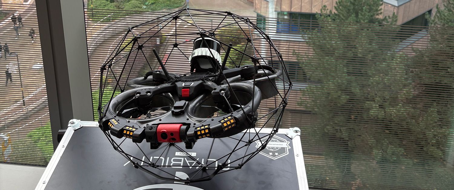
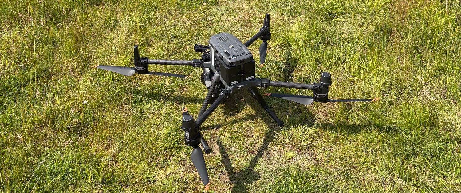
Whether the brief calls for the collision-tolerant Flyability Elios 3 inside a tunnel, culvert or shaft, or advanced photogrammetry to generate survey-grade 3D models of bridges, viaducts and buildings, our UAS division delivers defensible data, captured safely, and processed to engineering standards.
Are you ready to harness the power of drone data?
Flagship Technology
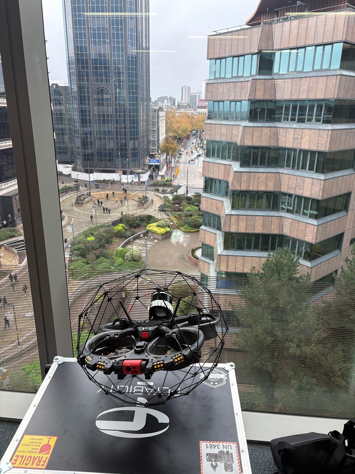
Flyability Elios 3
Confined Space & Indoor Inspections
The Elios 3 is the industry-leading collision-tolerant UAS for GPS-denied environments. Built for tunnels, shafts, culverts, tanks and voids, it captures stabilised 4K video and live LiDAR-based 3D mapping in places no person should go. Eleusis Ltd. operates the Elios 3 as a certified Flyability Elios Advanced Specialist – fully integrated into our confined-space and STE07 examination workflows.
Advanced Photogrammetry
Survey-Grade 3D Capture
Our photogrammetry pipeline turns drone imagery into measurable, geo-referenced 3D models, orthomosaics and point clouds. Used on operational viaducts, heritage rail structures and multi-asset sites, it gives engineers a defect-by-defect digital twin to interrogate long after the site visit ends – and a reliable base layer for assessment, design and progress monitoring.
DRONE DATA TYPICALLY REPLACES 80% OF THE TIME SPENT ON TRADITIONAL ACCESS-BASED INSPECTION METHODS
Core Services
1. Drone Operations Consultancy
Helping clients build in-house drone teams or select the right delivery partner – from CAA operational authorisations through to capability scoping.
2. Aerial Photography & Videography
High-quality aerial imagery for marketing, stakeholder reporting and project records.
3. Commercial Property & Land Aerial Inspections
Aerial data to support marketing, planning, surveying and asset management decisions.
4. Building & Construction Progress Reporting
Repeatable, time-series aerial captures so project teams can monitor build progress with accuracy and consistency.
5. Indoor & Confined Space Inspections
Internal inspections of tunnels, shafts, culverts, tanks and voids – delivered with the Flyability Elios 3, integrated with our high-risk confined-space team.
6. Lectures & Drone Training Workshops
Technical training and tailored workshops on UAS capability, regulation and how to harness drone data inside your own business.
Value Proposition
1. Improve Operational Efficiency
Drone data typically replaces 80% of the time spent on traditional access-based inspection methods.
2. Increase Staff Safety
Keep people on the ground. Send the Elios 3 into the confined space, and the UAS over the viaduct.
3. Decrease Project Costs
Fewer possessions, less scaffold, less rope, less downtime – the same engineering answer, captured faster.
SOCIAL PROOF
Trusted across UK infrastructure Our UAS and photogrammetry capability is deployed alongside tier-one contractors, framework partners and heritage asset owners – including operational viaducts, highway structures and rail-network confined spaces.